Concept previewLearn more

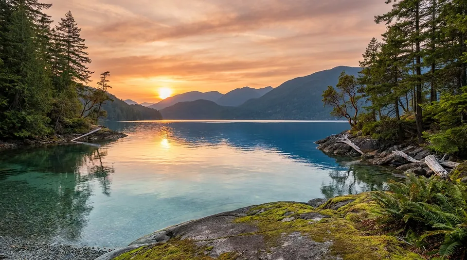
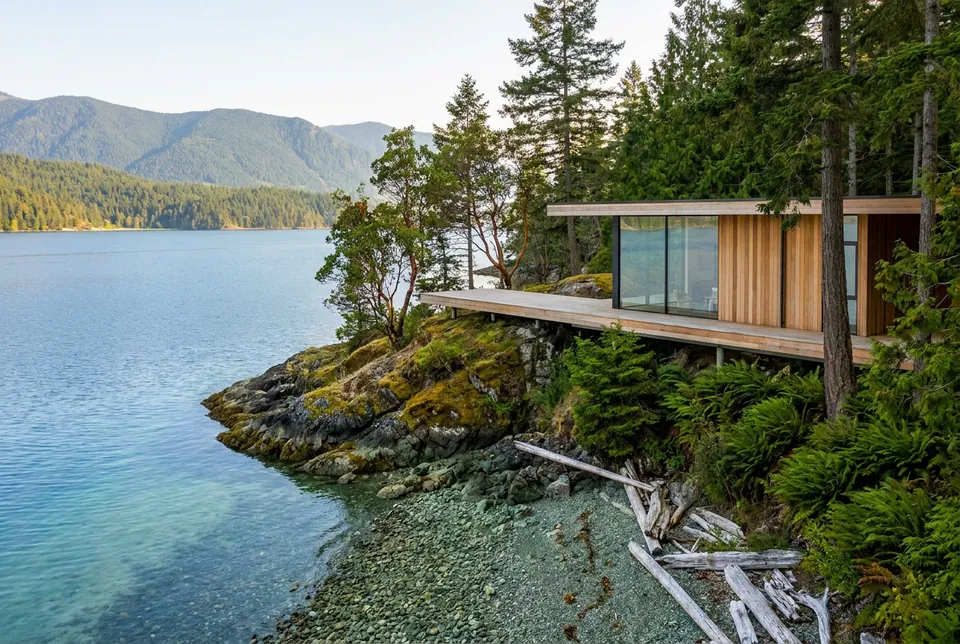
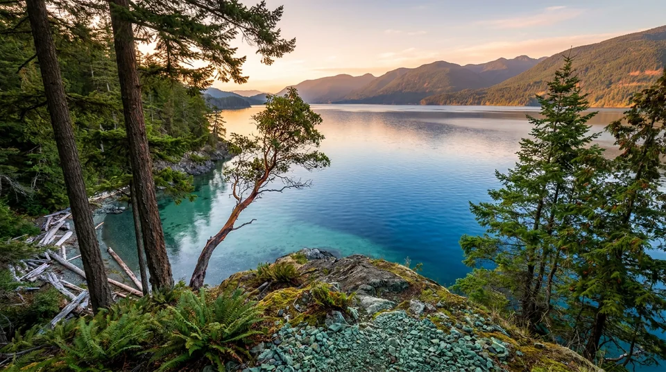
Golden-hour view from a forested point across a clear lake to layered mountains

Cowichan Lake · Vancouver Island · British Columbia

Release One. Twelve estate lots.

OWN THESHORELINE.

Land. Water. Legacy.

A first release on a 673-acre lakefront holding with more than 4.3 kilometres of contiguous shoreline. Southwest light, old forest and deep, clear water.

Holding, per listing
673ac
Contiguous shoreline
4.3km+
Lots in Release One
12
Exposure and sunsets
SW
  • Old-growth forest
  • 4.3 km of shoreline
  • Southwest sunsets
  • Clear freshwater
  • Twelve estate lots
  • Release One
  • Concept preview

The setting

A shoreline measuredin kilometres, not metres.

Cowichan Lake is one of Vancouver Island's great freshwater lakes: roughly sixty-two square kilometres of exceptionally clear water, close to a hundred and ten kilometres of shoreline and depths that approach a hundred and fifty metres. On its north shore, immediately west of the village of Youbou, a single holding of about 673 acres runs along more than four kilometres of that shore.

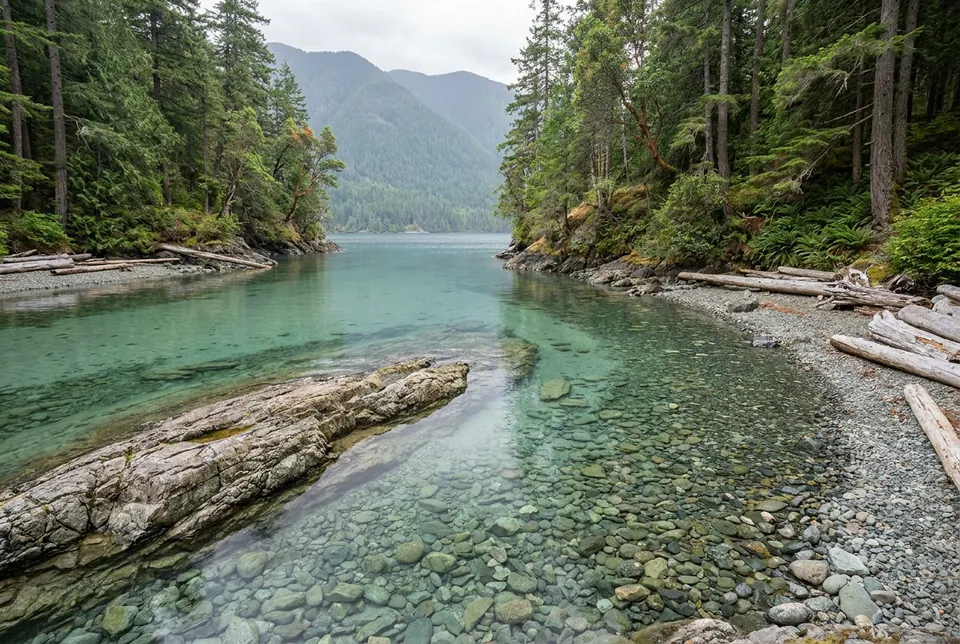
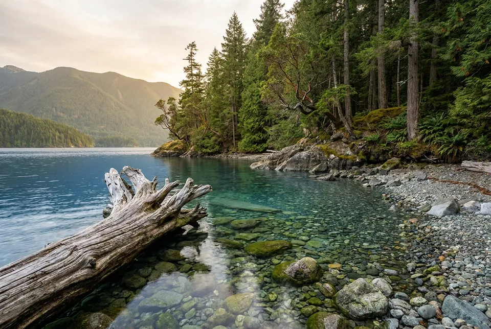
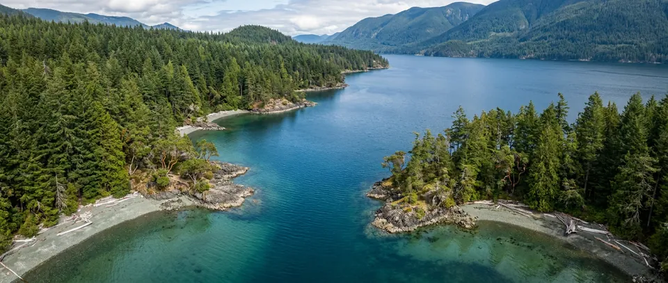
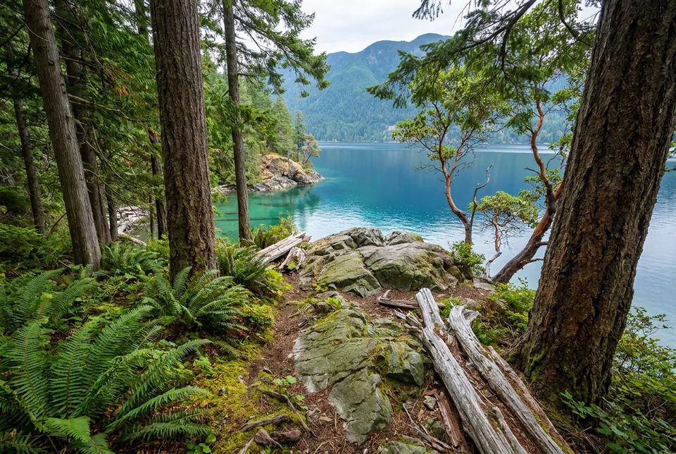
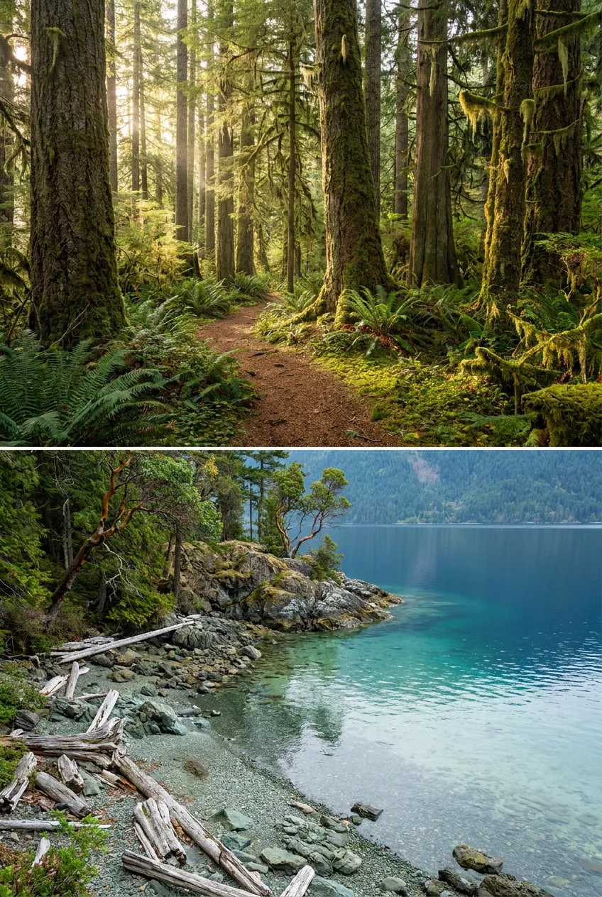
The land faces southwest. Mornings arrive quietly across still water; evenings end with the sun setting behind the mountains on the far shore. Between the two, the property is Douglas fir and cedar, pebble beaches and rock shelves, and coves where the shallows turn turquoise before falling away to blue.

Epic Coast Estates is the first release of estate lots on this shore: twelve parcels across roughly seventy acres, drawn to keep the forest between neighbours and the water in front of everyone.

Lake surface, per listing
62km²
Lake shoreline, per listing
110km
Lake depth, approaching
150m
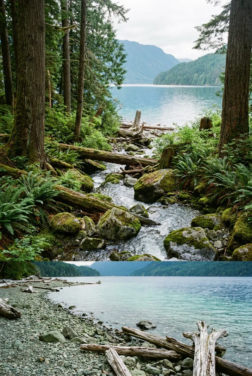
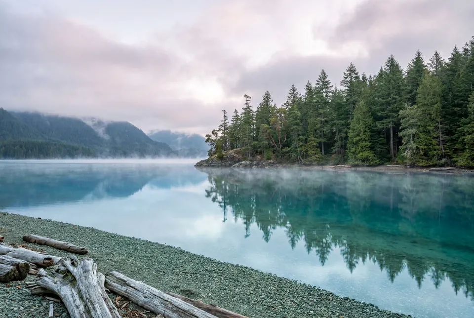
Mist lifting off a still lake at dawn with cedar and fir shoreline reflectedRepresentative imagery
“Land at this scale, on water this clear, is not being made any more.”

The ownership vision

Held, nothurried.

Estate lots are generous by design. Homes sit inside the forest rather than in place of it, shoreline stays shared or lightly touched, and the plan leaves room for the things that make a lake feel like yours: a dock, a trail to the water, a night sky without streetlights.
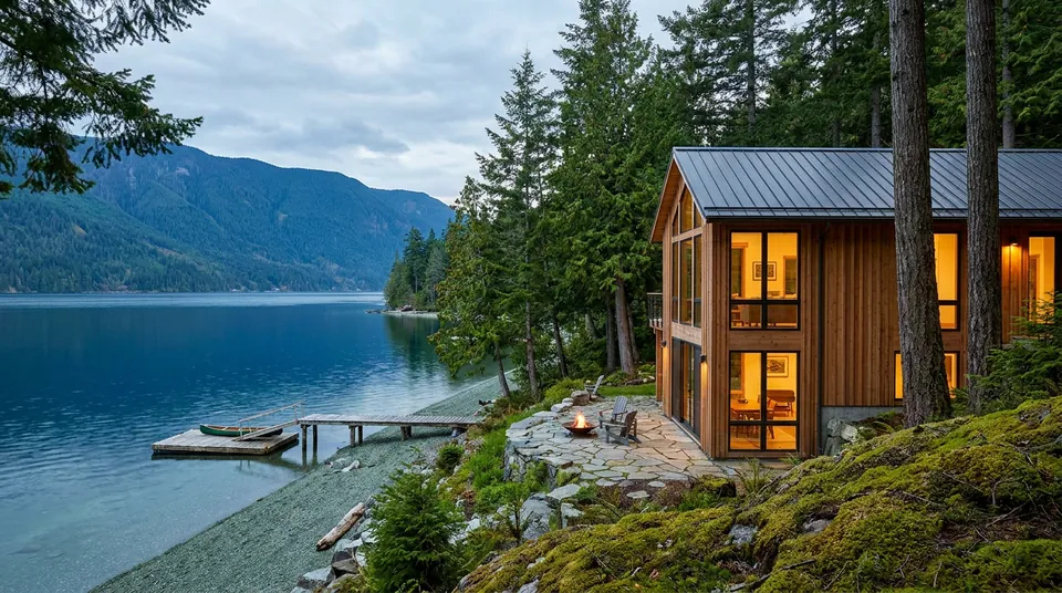
Concept render of a timber-and-glass lake house among tall firs at duskConcept render
  1. Proposed

    Shoreline reserve

    A continuous walking reserve along the water, kept in forest, so every owner can reach the whole shore on foot.

  2. Proposed

    Private dock program

    A single design language for owner docks and a shared launch, subject to the approvals that govern the lake.

  3. Proposed

    Forest stewardship covenant

    Building envelopes and tree-retention guidelines written into the lot, protecting the canopy that gives each parcel its privacy.

  4. Proposed

    Dark-sky lighting

    Shielded, warm exterior lighting only. The Milky Way over the lake is part of the offering.

  5. Proposed

    Trail network

    Soft-surface trails linking the bluff, the creek and the shoreline reserve, with viewpoints at the high ground.

  6. Proposed

    Design guidelines

    Material and massing guidelines that favour cedar, stone, glass and low rooflines, so the built shoreline still reads as forest from the water.

All amenities are proposed concept features. None is built, approved or committed, and the developer will confirm what forms part of the final offering.

Release One

Twelve lots.Four collections.

A sample inventory drawn for the concept: five shoreline lots, three elevated bluff lots, three forest acreages and one signature creek estate. Every size, price and feature here is a placeholder for the developer's final release details.
View all lots and filters

Sample inventory · Indicative pricing (CAD), subject to change

Showing 12 of 12 lots

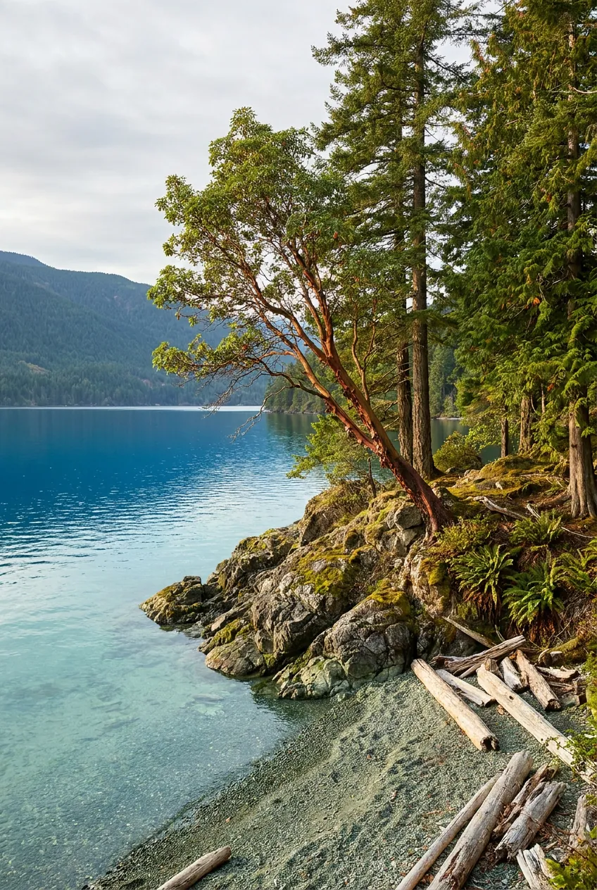
Arbutus Point, representative imageryRepresentative imagery
Available
Lot 01

Shoreline Collection · Southwest and west

Arbutus Point

The headland lot, with water on three sides and the last light of the day.

  • 6.8 ac
  • 310 m shoreline
  • +4 m above lake
  • Headland with shore on three sides
  • Sheltered cove on the east side
  • Rock shelf facing the sunset

Indicative

$3,950,000

Cedar Cove, representative imageryRepresentative imagery
Reserved
Lot 02

Shoreline Collection · South

Cedar Cove

A protected cove with turquoise shallows and the stillest water on the shore.

  • 4.2 ac
  • 190 m shoreline
  • +3 m above lake
  • Protected cove and swimming shallows
  • Gentle grade from water to building bench
  • Western red cedar at the shore

Indicative

$2,850,000

Sunset Shelf, representative imageryRepresentative imagery
Sold
Lot 05

Shoreline Collection · Southwest

Sunset Shelf

A wide rock shelf at the water's edge that faces straight into the evening.

  • 5.1 ac
  • 200 m shoreline
  • +6 m above lake
  • Broad rock shelf at the shore
  • Direct sunset alignment
  • Open forest building site

Indicative

$3,400,000

Eagle Bluff, representative imageryConcept render
Available
Lot 06

Bluff Collection · Southwest

Eagle Bluff

The highest site in the release, with the whole width of the lake below.

  • 4.4 ac
  • +42 m above lake
  • Highest elevation in the release
  • Panoramic lake and mountain view
  • Trail to the shoreline reserve (proposed)

Indicative

$1,550,000

The plan

Find yourplace on the shore.

Select a lot on the plan to see its details, or choose from the list. The layout is an illustration of how a first release could sit on the north shore; it is not a surveyed subdivision, and boundaries, the road and the shoreline reserve are all conceptual.

On smaller screens, use the list below the plan to select a lot.

01Arbutus Point02Cedar Cove03Driftwood Beach04The Narrows05Sunset Shelf06Eagle Bluff07Osprey Rise08Hemlock Terrace09Fern Hollow10Old Fir11Moss Gate12Creek EstateCowichan LakeShoreline reserve (proposed)Shore Road (proposed)Bluff trail (proposed)Seasonal creekThe NarrowsIllustrative, not to scale

Conceptual plan. Not a surveyed subdivision. Not to scale.

  • Available
  • Reserved
  • Sold
  • Release Two

Select a lot

Location

North shore,west of Youbou.

The holding sits on the north shore of Cowichan Lake, about four kilometres west of the village of Youbou and a half-hour drive from the Town of Lake Cowichan. Duncan, with major shopping and the regional hospital, is under an hour; Nanaimo's airport and ferries are roughly an hour and a quarter, Victoria a little under two hours.
Coordinates
48.8777° N, 124.2466° W
Setting
North shore of Cowichan Lake, immediately west of Youbou
Region
Electoral Area I (Youbou / Meade Creek), Cowichan Valley Regional District, Vancouver Island, British Columbia, Canada
YoubouLake CowichanHoneymoon BayMesachie Lake
The property · listing pin
North is up · Pin marks the listing coordinates, not a boundary5 km
Map data © OpenStreetMap contributors (ODbL)

Approximate drive times

PlaceWhy it mattersDistanceTime
Youbou6 km14 min
Lake Cowichan18 km29 min
Duncan46 km53 min
Brentwood College School66 km1 h 11 min
Shawnigan Lake School66 km1 h 15 min
Nanaimo Airport (YCD)77 km1 h 18 min
Departure Bay, Nanaimo93 km1 h 36 min
Victoria107 km1 h 51 min
Victoria International Airport (YYJ)122 km2 h 9 min
Swartz Bay128 km2 h 13 min

Approximate driving distances and times from the listing pin, computed with OpenStreetMap routing on 2026-09-07. Road access to the parcel itself is unconfirmed; the developer should verify these before publishing.

The lake, by the numbers

Lake surface
≈ 62 km²
per listing
Lake shoreline
≈ 110 km
per listing
Depth
approaching 150 m
per listing
Holding
≈ 673 acres
per listing, subject to survey
Holding shoreline
4.3+ km
per listing, subject to survey
Exposure
Southwest
lake and mountain views, sunsets

Nearby

  • Youbou. Village with a community hall, parks, swimming beaches and lake recreation.
  • Town of Lake Cowichan. Shopping, restaurants, schools and services at the lake's outlet.
  • Duncan. Major shopping, healthcare and the Cowichan Valley's largest centre.
  • Nanaimo and Victoria. Airports and BC Ferries connections to the mainland.
  • Independent schools. Brentwood College School, Shawnigan Lake School and Queen Margaret's School are within reach (per listing).
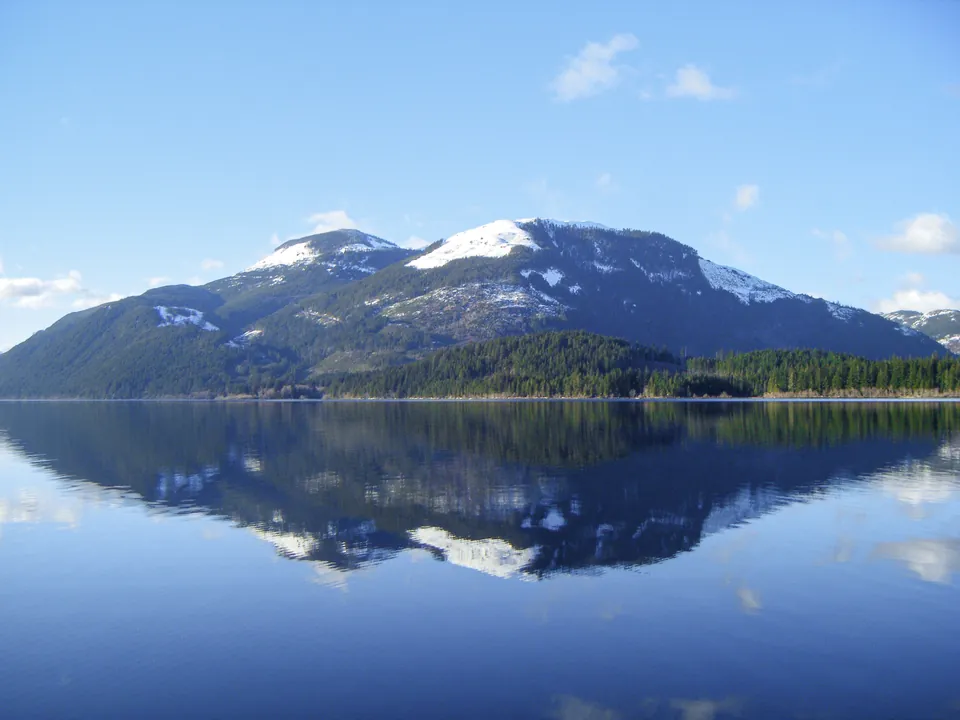
Snow-capped forested mountains reflected in a calm Cowichan LakePhoto
Cowichan Lake in February, snow on the peaks. D.G. Brown, CC BY 2.0, via Wikimedia Commons. Not taken on the parcel.
Panorama of a still bay at Cowichan Lake at dawn with docks and forested shorePhoto
Early morning on Marble Bay, near Youbou. Dale Simonson, CC BY-SA 2.0, via Wikimedia Commons. Not taken on the parcel.

Buyer questions

Straightanswers.

Provisional answers are marked. The developer will confirm each one before sales open.
Ask us something else
Where exactly is the property?

On the north shore of Cowichan Lake on Vancouver Island, immediately west of the village of Youbou, in the Cowichan Valley Regional District. The map pin on this site marks the listing coordinates; parcel boundaries are not shown and should not be inferred from the pin.

What is being sold?

Individual estate lots. This concept shows a first release of twelve sample lots in four collections. The final number, sizes, boundaries and names will be confirmed by the developer.

Provisional answer · Concept preview

Are the lots approved for building?

Not represented. The wider holding has a long public planning history and current regional planning documents identify it as a special study area, with considerations that include water supply, riparian areas, topography and wildfire interface. Historical planning concepts should not be read as current or future development rights. The developer will confirm zoning, subdivision status and any conditions before sales open.

Provisional answer · Concept preview

Is the pricing final?

No. Every price shown is indicative and exists only to illustrate the range of the concept. Registered buyers will receive confirmed pricing before it is published.

Provisional answer · Concept preview

What about road access, power, water and septic?

Servicing has not been confirmed for this concept. Assume that road access, hydro, water supply and wastewater arrangements for each lot are to be determined and will be described by the developer in the final offering.

Provisional answer · Concept preview

Can I put in a dock?

Docks on Cowichan Lake are subject to provincial and regional approvals. The proposed dock program on this site is a concept only; the developer will describe what is permitted for each lot.

Provisional answer · Concept preview

Are the photographs of the property?

No. Landscape images are representative imagery of the Cowichan Lake setting, and building images are concept renders. Both are labelled as such throughout the site. The only photographs are credited real photographs of Cowichan Lake in the location section, and they are not of the parcel.

How does registering interest work?

Registering costs nothing and commits you to nothing. It records the lot or collection you care about and how to reach you. In this concept build, submissions are stored locally on the server and no one is notified automatically; the live site will connect the form to the sales team.

Provisional answer · Concept preview

Can I visit?

Site visits will be arranged by the developer once the release is confirmed. Register your interest and say that you would like a visit.

Provisional answer · Concept preview

Register your interest

Be firstto the shore.

Tell us which lot or collection interests you and how to reach you. Registered buyers receive release details and pricing confirmation before they are published.

In this concept build, submissions are saved to a local file on the server and no email is sent. The sales team is not notified automatically.

Register your interest

Selected: Any lot

In this concept build, submissions are saved to a local file on the server and no email is sent. The sales team is not notified automatically.

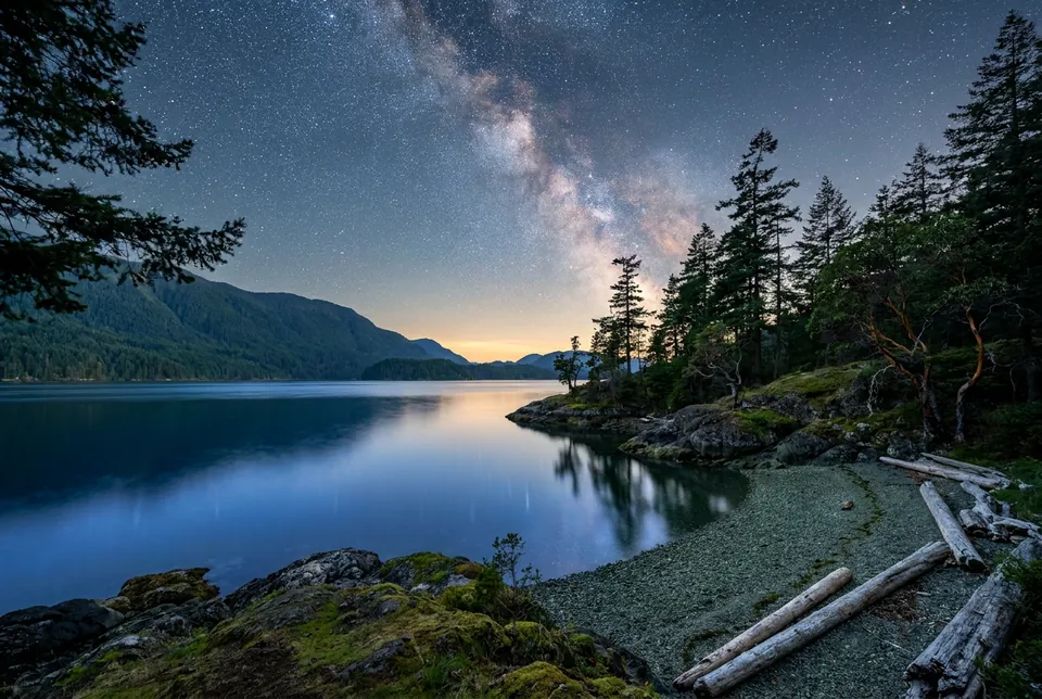
Stars over a calm lake with silhouetted firs

Your placeon the lakestarts here.

Twelve estate lots · Shoreline, Bluff, Forest and Creek Estate collections

Cowichan Lake · North shore · Southwest exposure